
@tsayles
Active 6 years, 10 months agoForum Replies Created
-
AuthorPosts
-
Made the first field trial with my setup this week.

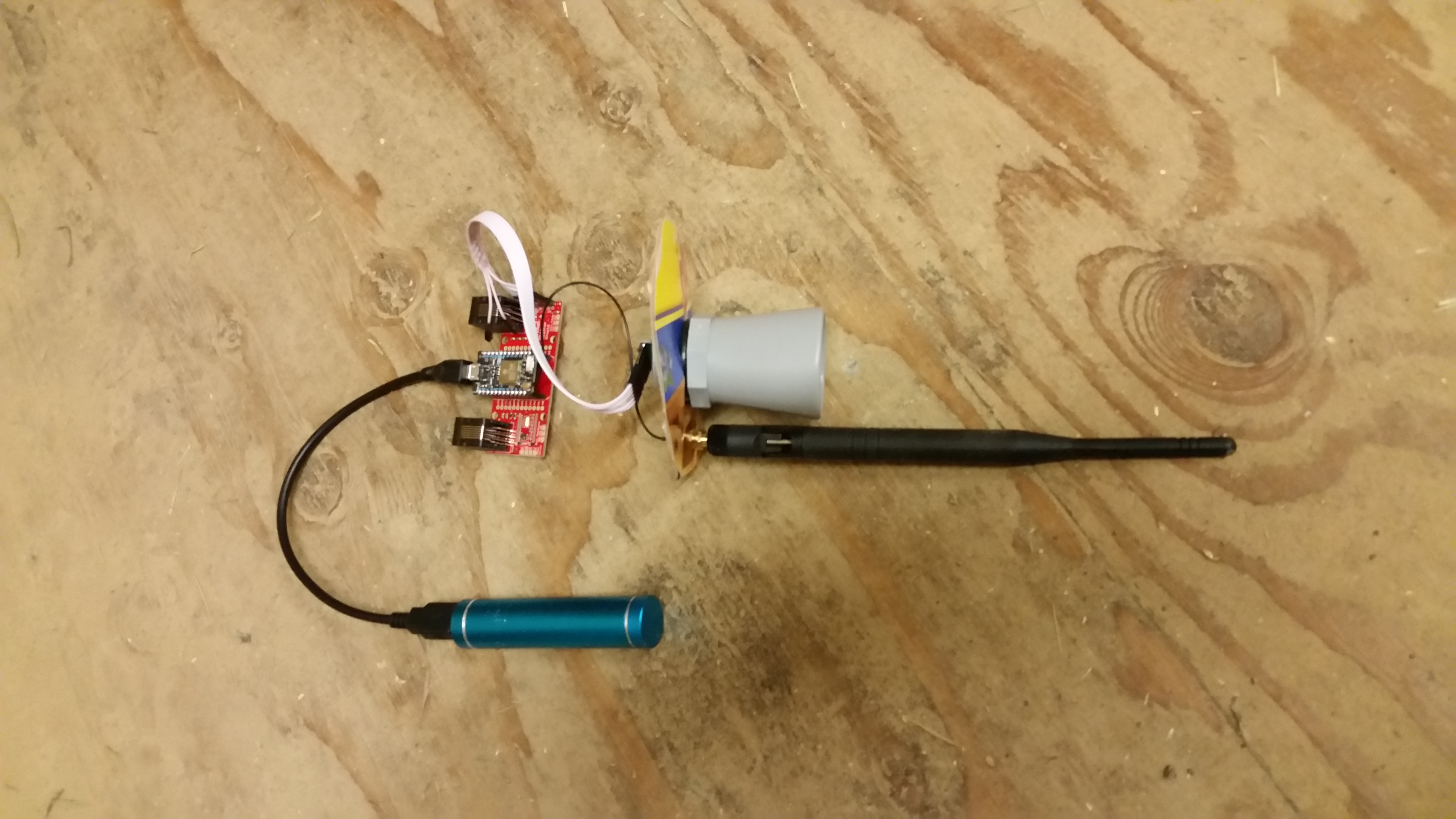
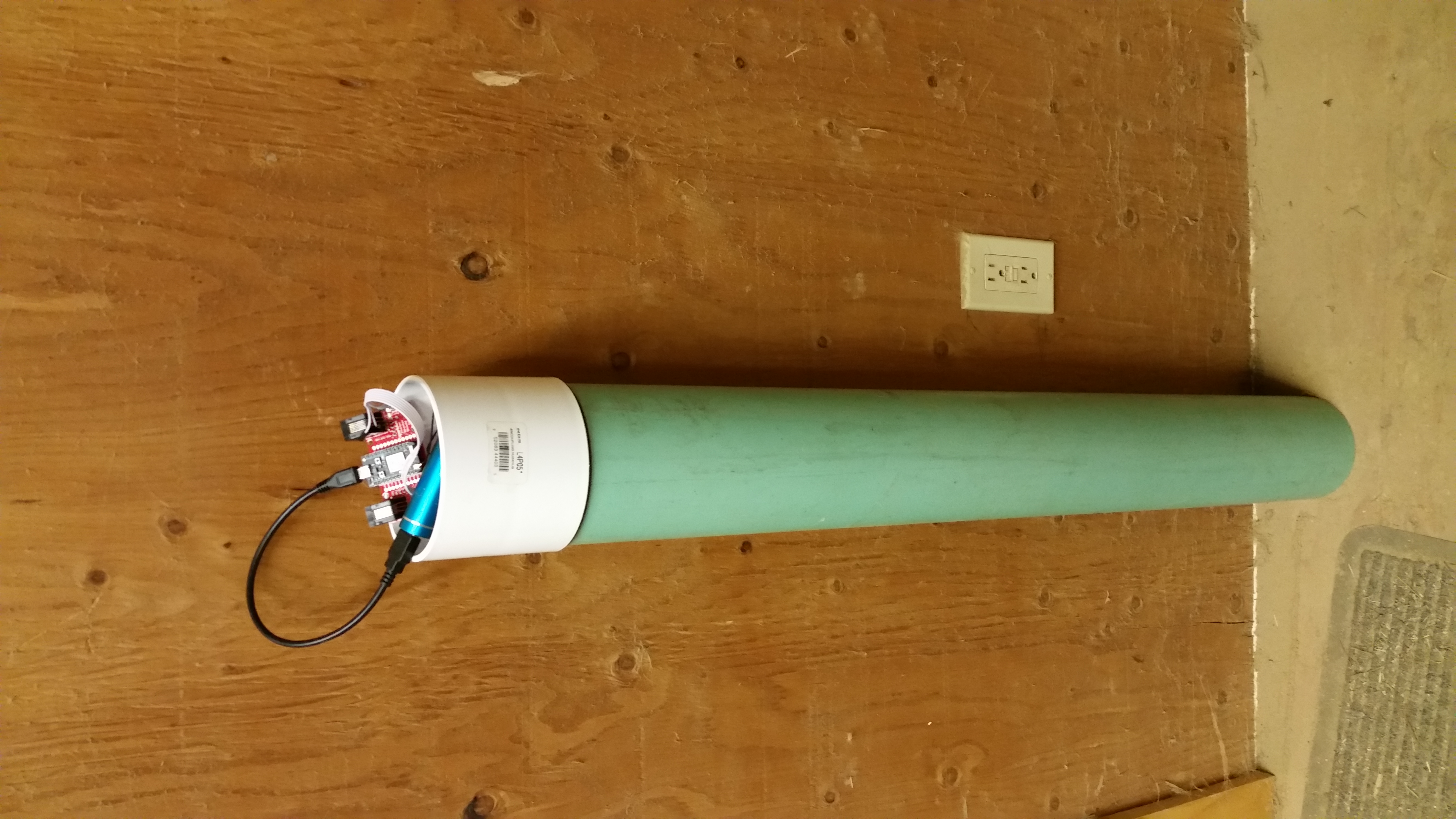
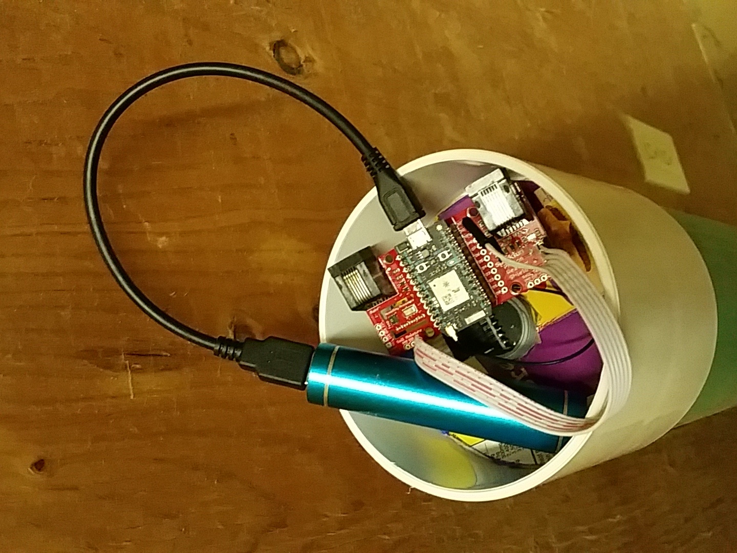
Very exciting. I’ve been working on something similar, though smaller in scale (just our farm in western Washington State [USA], between Seattle and the Cascade Mountains. I’ve been experimenting with the MB7040 I2CXL-MaxSonar-WR sensor, Particle.io Photons for MCU, communications and cloud connectivity along with Weather and Battery Shields from SparkFun, for accurate primary temperature, humidity, etc. and power management, as well as a few DS18b20 for additional temperature measurements.
I seem to be maintaining a project log in the community forums over at Particle.io.
@Shicks, thanks for the heads up on the temperature compensation. I had already been thinking about measuring temperature at the top, bottom and water surface [hopefully using an I2C-IR sensor I’ve been playing with] in the stilling well. From there calculating the thermal gradient and applying a calibration curve shouldn’t be too difficult, just takes time to collect and pre-process the calibration data. In the end it’s just a multi-dimensional look-up table that needs to be applied at the time of the measurement.
Since test and calibration are among the things I do in my day job for a major electronics manufacturer, calibration was already on my radar. And I have some ideas on how to simplify / automate the collection of the initial calibration data, in situ. With enough data points on a calibration target, I should be able estimate the multi-dimensional response surface and generate the calibration table.
All of the above assumes that the raw values aren’t good enough for my application. Since I’m looking more for large changes (10s of cm) over relatively short periods of time (15 min to 1 hr), and since my error tolerance between measured elevation and actual elevation is also on the order of 10s of cm, the raw data with the MB7040 might be good enough.
I’m interested to see some of your test data, especially if you have any error estimates.
-
AuthorPosts